weston village district map
The map, downloadable as a PDF document, shows the general downtown area. It should be viewed north-side on top, with Norfield running from left to right, maximized to fit your computer screen’s monitor.
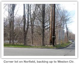
The red line illustrates the boarders of the proposed village district, inside of which all lots and structures would be multi-zoned. Blue lines identify the boarder lines of existing and potential commercial development sites in the future – should the district come to fruition and if the land owners choose to sell.